
Google Mystara
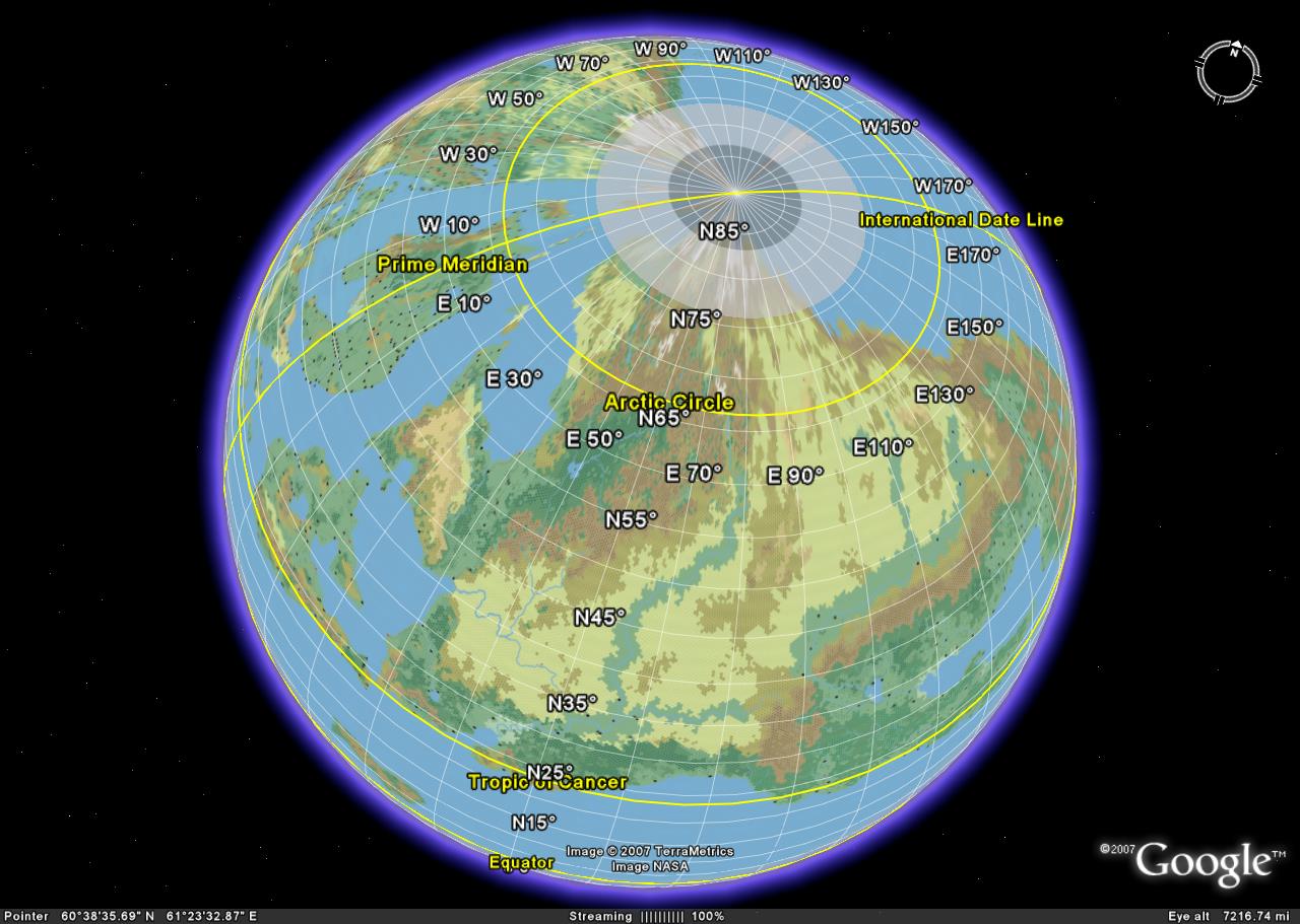
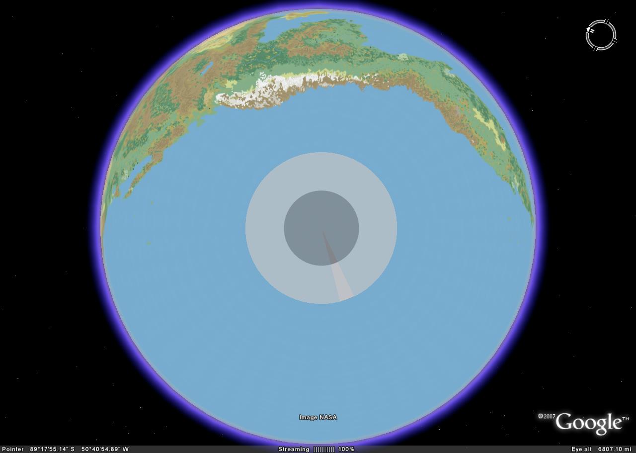
by Sheldon Morris on maps by Andrea FrancoliniNow, I can't actually put holes into the globe itself, but I did create a simple shaded layer to represent where the curvature of the polar openings begin (light grey) and where the Darklands begin. Here are some new pics:

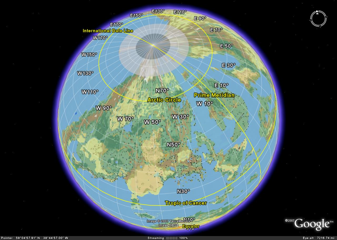
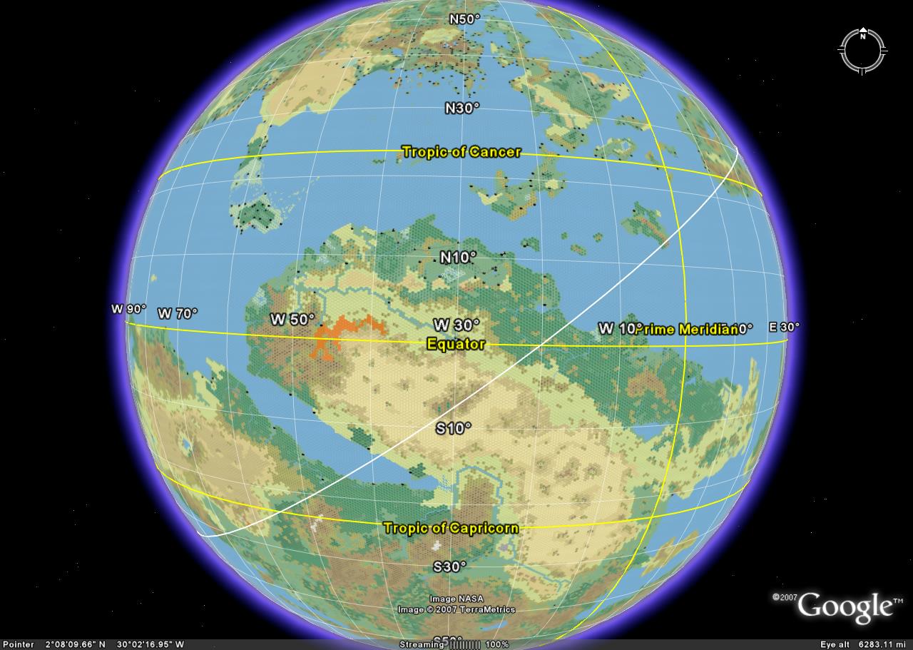
Here is one of the western sea:
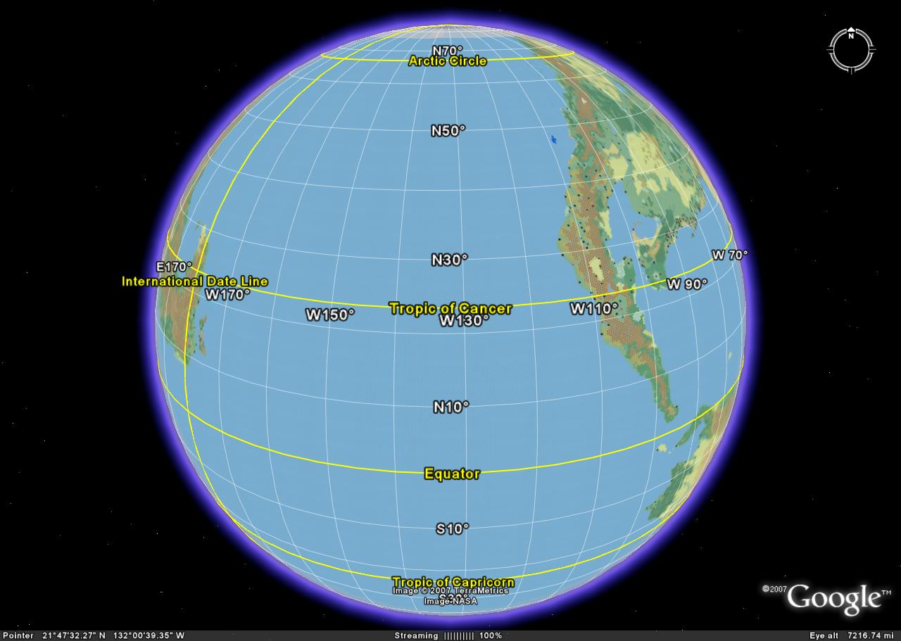
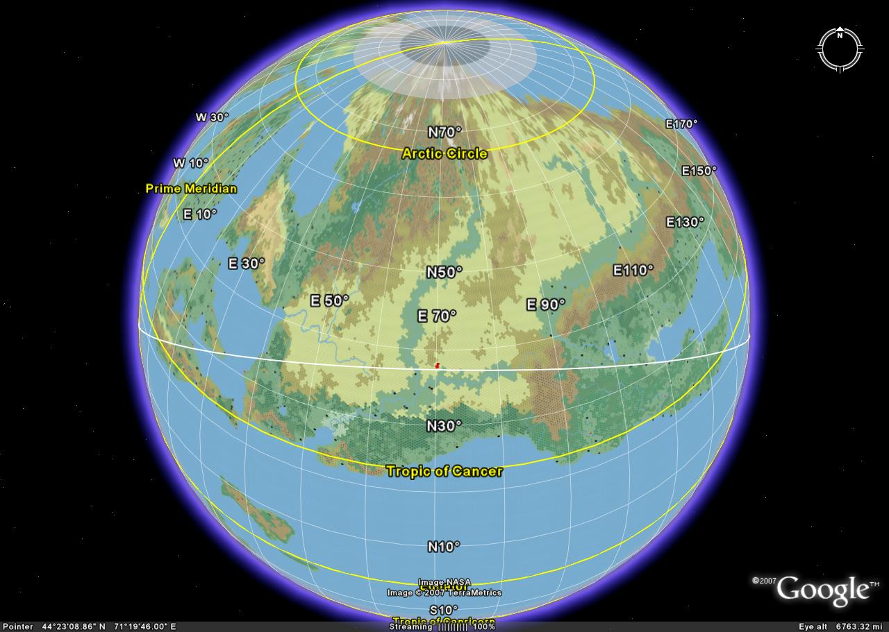
The North Pole
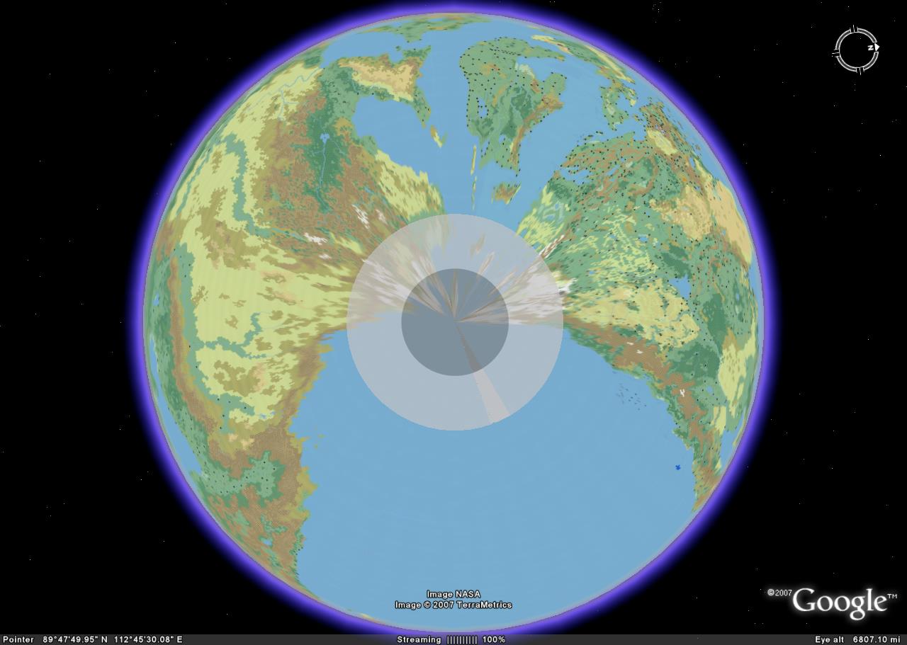
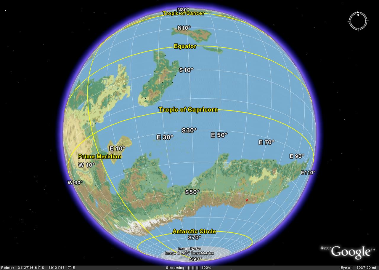
The South Pole
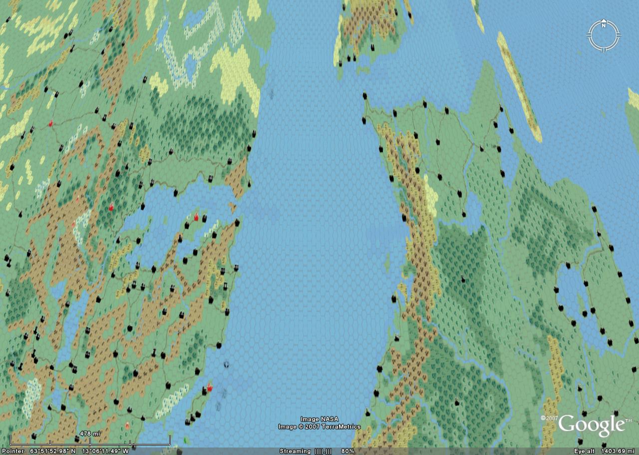
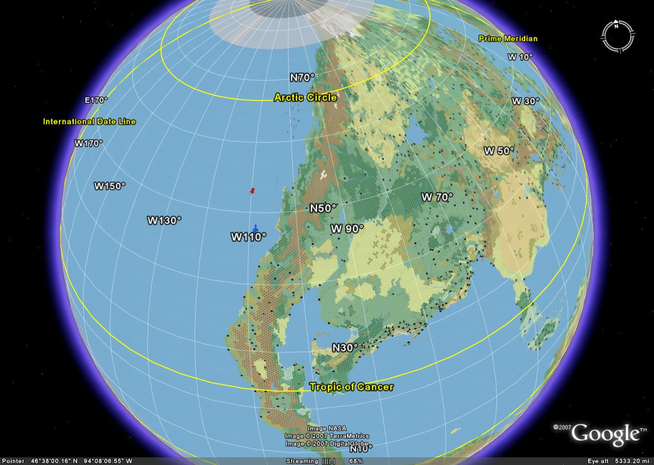
This one shows an interesting shape of the Great Bay.
These new maps have the proper ratio between height and width. Therefore, if the globe was unravelled, the resulting map would be twice as wide as it is high.
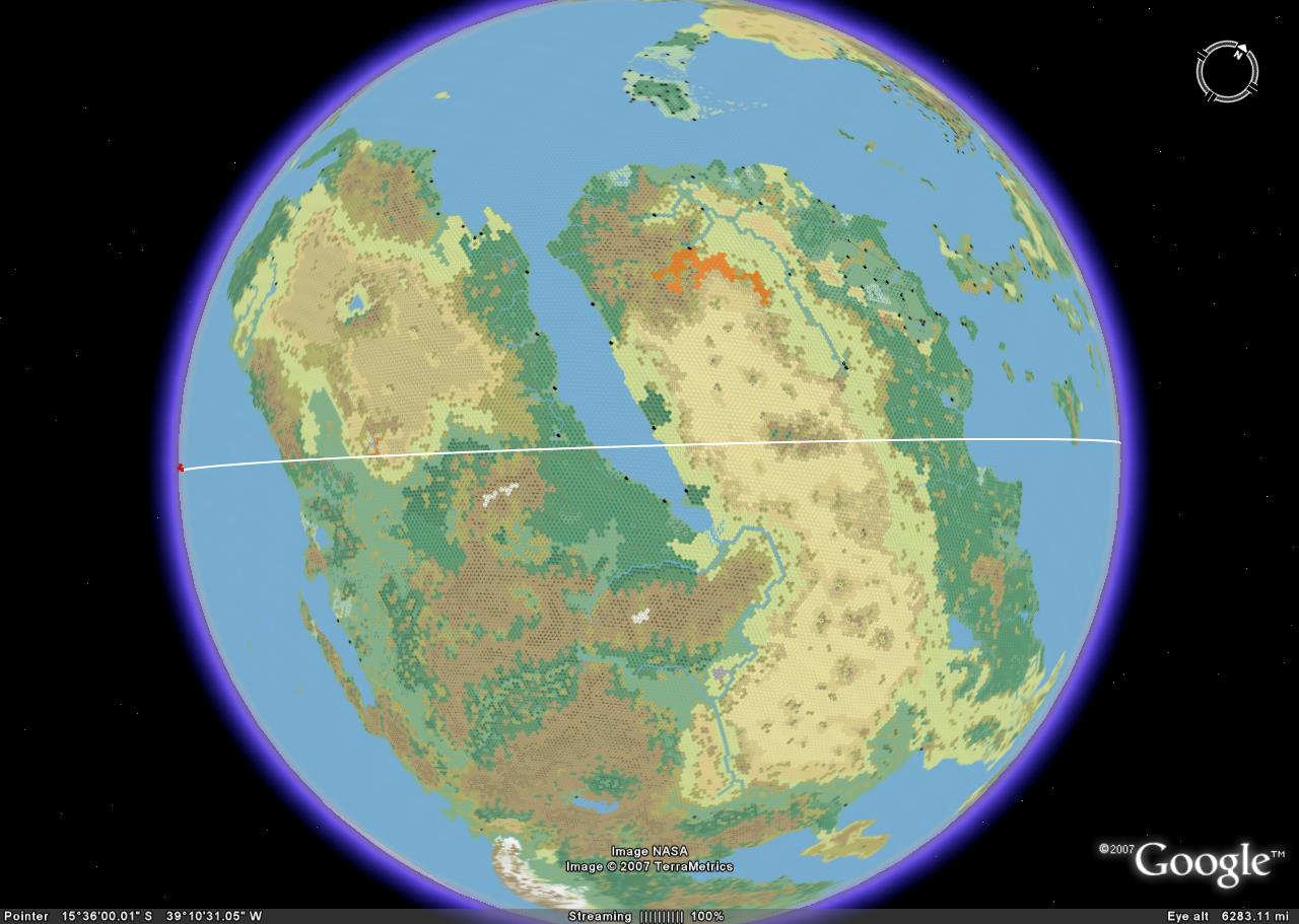
OK, I've looked over everything and did make some alterations due to misplaced points. All should be good now. Note that the white line is the pre-cataclysm equator.
Assumption notice: These results rely on the map's accuracy and the changes I've made to it.
- I had to trim land from the northern edge and add to the southern to centre the equator. However, the 'trimmed' land can be assumed to exist as part of the curvature of the polar opening.
- I found it necessary to make the Western Sea much wider in order to get the map to the proper 2:1 ratio of length to height.
- Studying the HW 'Outer-World Precataclysmic' map lead me to place the point of where old equator crosses the new at the new 20°W longitude.
- That same map also suggests what the axis change of angle was. I have gone with a change of 37.5 degrees.
- This map depicts AC 1000 and so does not account for any changes in land forms that would exist before the GRoF.
This one just shows the pre-cataclysm equator as it crosses the southern continent of Davania. It does differ a bit from the HW map. As you travel west along the equator from the point it crosses the modern equator you'll find it actually 'curves upward' compared to the HW map. This is due to the curvature of the planet. The HW's PreCat equator was basically drawn as a straight line on a flat map but it just doesn't work that way on a globe.
Here is the Pre-Cat equator crossing the Bellissarian Sea. In this time period, the location of the future capital of Thyatis is at about 33°N (present, according to this map, is about 36°N) and Glantri City is at about 46°N (presently about 44°N). Back then, Glantri was nearly due north of Thyatis. The problem here is the notion that the region was experiencing its Ice Age. However, if we consider that the Ice Age was global, we could then assume it was comparable to the mini Ice Age that RW Europe experienced during the early middle ages. This theory could also aid Blackmoor's position as a northern-like climate despite not being far-north.
This one shows the region where the two equator's intersect. It is very possible that the Aryptian Basin was once a rain forest like the Amazon.
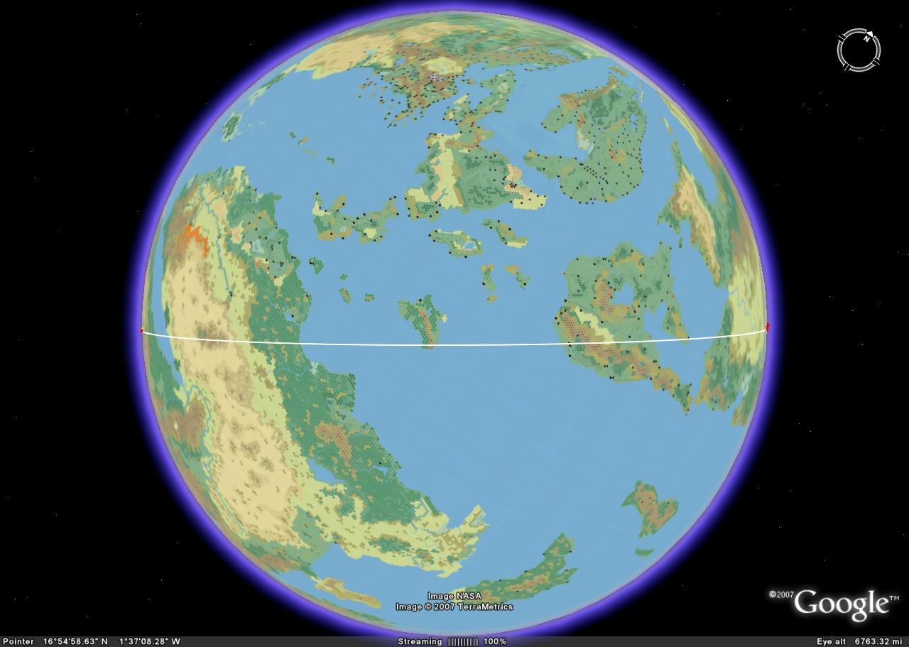
This is the Pre-Cat equator as it crosses the continent of Skothar. The red 'pin' on the equator is the point at which it gets its most northerly on the modern day map. One thing you can see from this is that Blackmoor probably rested at around the 50°N latitude of its day, and lies at the current north pole, meaning it no longer exists. However, as the Immortals 'relocated' the polar opening, some artifacts may have ended up along the curvature of the new opening. This seems to work out as it should, especially considering that there may have been a global Ice Age at the time.
Another point to bring out is that the Beastmen in the Borean valley were actually much more west than north of Blackmoor. Lying at a broad region around the 60°N mark seems to sound perfect.
Here is the Pre-Cat North Pole (red pin), very close to the future Sylvan Realm of the elves, as some have suggested.
And the South Pole (red pin) located in the lower right hand side in the mountains of the Vulcanian Line on the Peninsula of Vulcania. These mountains themselves may be the 'plug' that the Immortals created to close the old polar opening.
Side thoughts - I just read that the Tangor Peninsula was drastically changed from plains to volcanic mountain ranges and thought about the World Spine equatorial mountain range within the HW. I think this must have been made during / as a result of the GRoF and that is why it follows the equator as it does. Perhaps it was the wobble of the planet as it transitioned and stabilised on its new axis.