
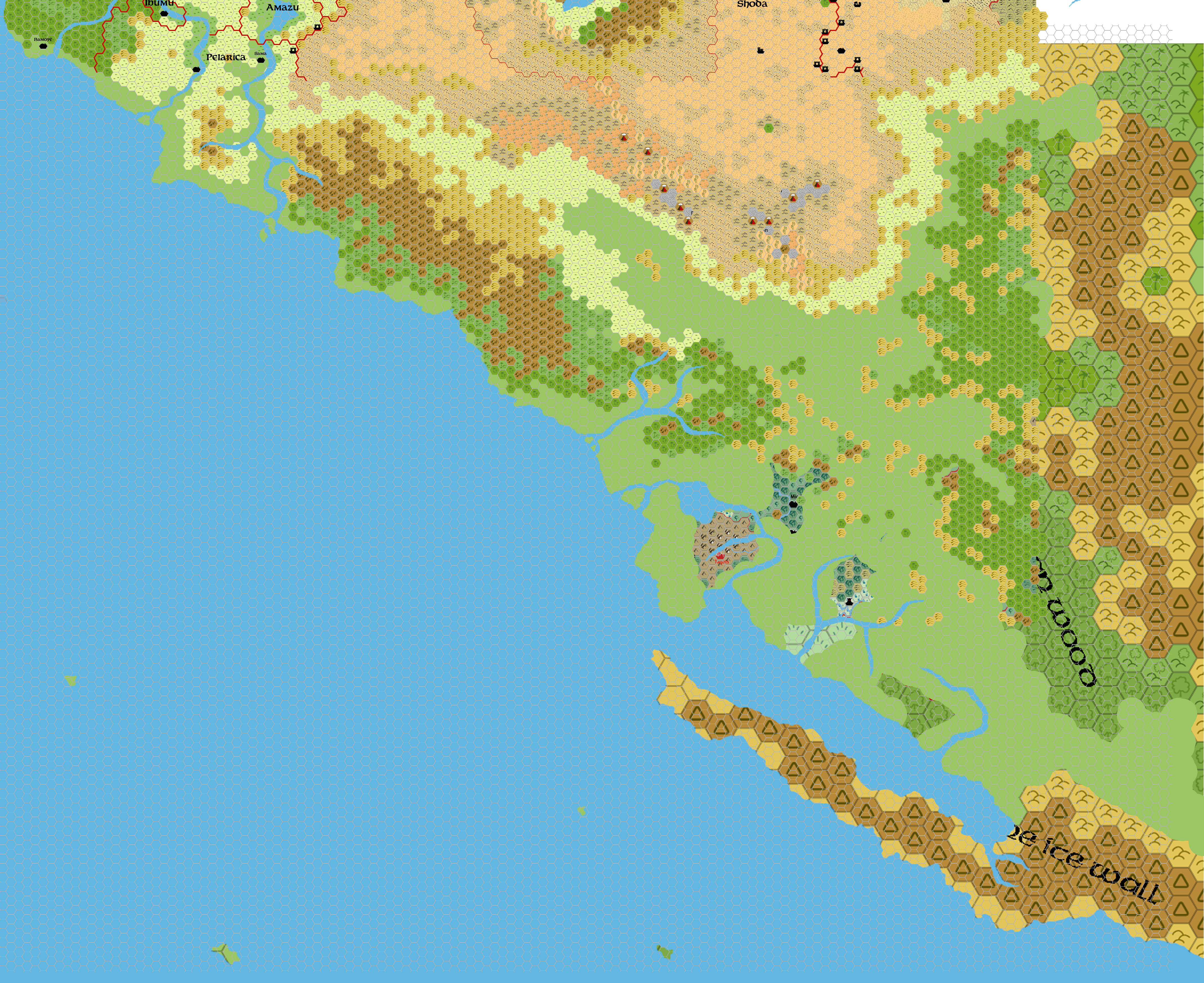
Pelatan, 24 miles per hex
by John CalvinMaps
Pelatan, 24 miles per hex by John Calvin, April 2011 (Work In Progress)


Comments
This map of the Pelatan covers a portion of northwestern Davania.
Sources: http://pandius.com/pelatan.jpg
Notes on XXX
To Do List
- Add in labels and cities.
References
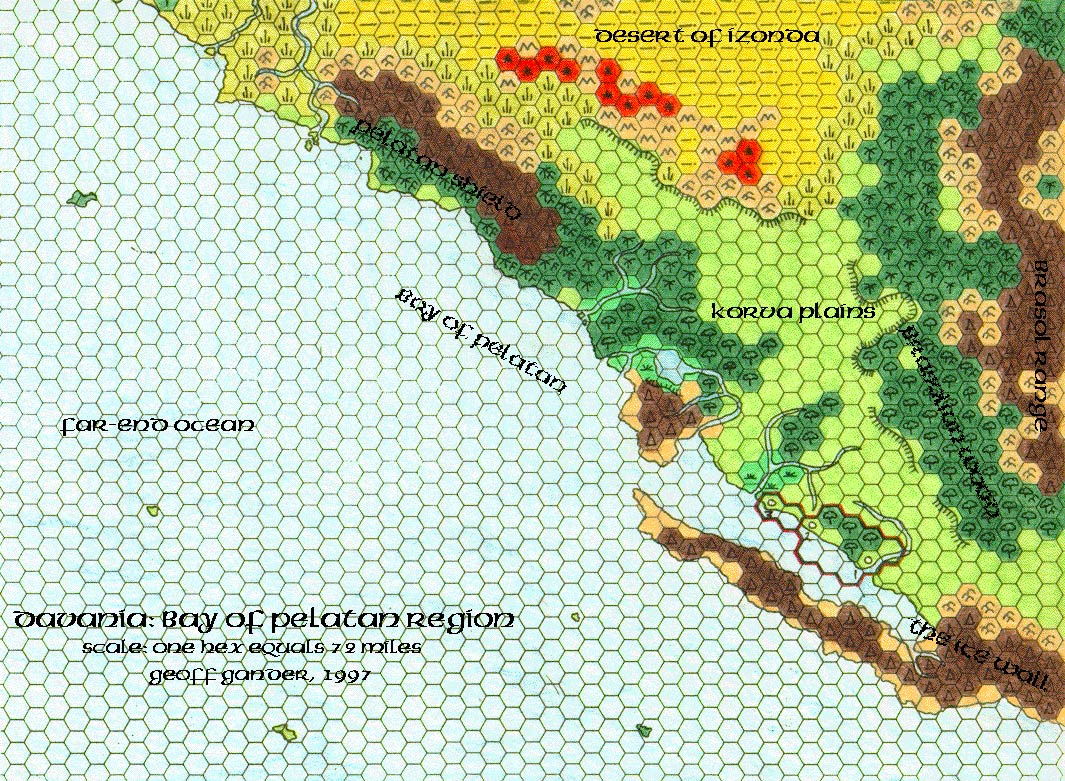
Thanks to: Thorfinn Tait, for providing some wonderful graphics to use in all of our mapping projects. Thanks to Geoff Gander for developing the initial Davania maps. Thanks to Francesco Defferrari, Thibault Sarlat, and Kal for developing the detailed Mystaran Alamanc maps of the region.