Drawing tips to produce realistic maps
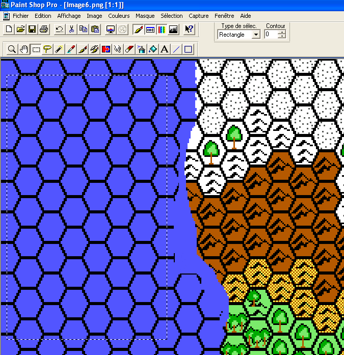
1) Select a Region
 Let's work on the ping format file.
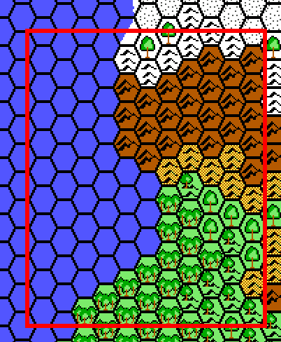
First, let's zoom in to the region upon
which we want to correct the coastlines or draw rivers.
Let's work on the ping format file.
First, let's zoom in to the region upon
which we want to correct the coastlines or draw rivers.
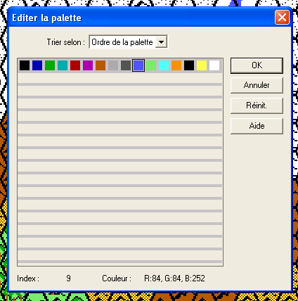 To
edit the palette, double click on the foreground color and select the
color you want. since grid only works with 16 colors, you shall not have a
big choice. Do not worry f you think the colors are too bright now, we can
still work them later, replacing one by another, hence obtaining a decent
result.
To
edit the palette, double click on the foreground color and select the
color you want. since grid only works with 16 colors, you shall not have a
big choice. Do not worry f you think the colors are too bright now, we can
still work them later, replacing one by another, hence obtaining a decent
result.
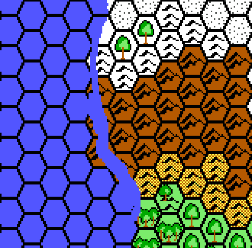 Select
first the width of the drawing tool (3 to 5 pix will do the trick).
Select
first the width of the drawing tool (3 to 5 pix will do the trick).
Then draw the coastline or river course. Feel free to erase as much land or hexes grid as you want to get a realistic coastline or river course.
 The
hexes grid and some portions of land hexes have been erased and replaced
by a blue coastline.
The
hexes grid and some portions of land hexes have been erased and replaced
by a blue coastline.
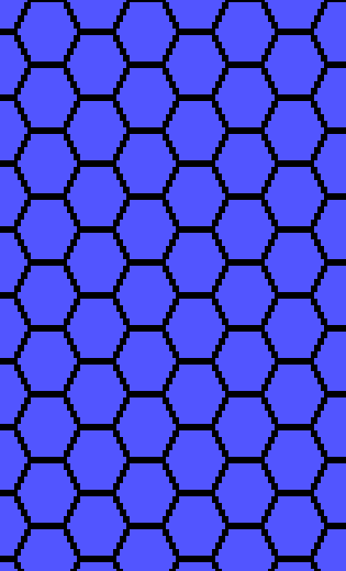
 Use
the rectangular selection tool to copy and paste as new image a blank
portion of uniform color (blue for the sea or even green for plains).
Use
the rectangular selection tool to copy and paste as new image a blank
portion of uniform color (blue for the sea or even green for plains).
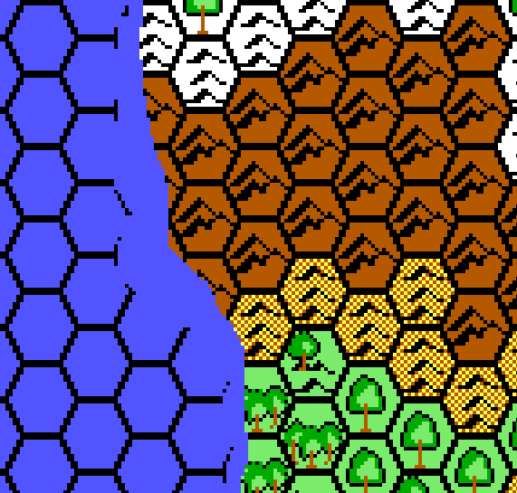
 Then use the magic wand to select the black hexes grid and copy the
selection. Activate the map you are drawing upon and paste as new
selection the black hexes grid. Zooming in a lot will help you adjust the
hexes grid.
Then use the magic wand to select the black hexes grid and copy the
selection. Activate the map you are drawing upon and paste as new
selection the black hexes grid. Zooming in a lot will help you adjust the
hexes grid.
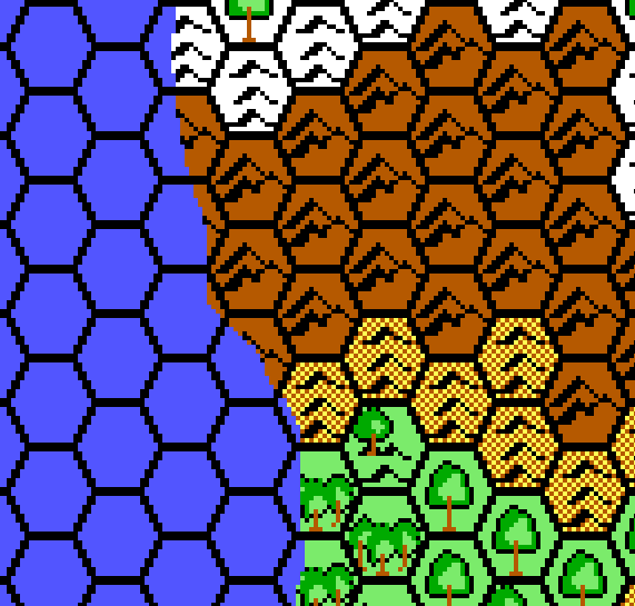 The
Coastline has been realistically drawn. You can add now aesily rivers or
roads or borders using the same technique.
The
Coastline has been realistically drawn. You can add now aesily rivers or
roads or borders using the same technique.